
On May 16, 1819, Thomas Nuttall “left Fort Smith with Major Bradford and a company of soldiers, in order to proceed across the wilderness, to the confluence of the Kiamesha and Red river.”
The party reached the Red River valley after a few days travel; Nuttall ended up spending a month there, not returning to Fort Smith until June 21.
On May 17 & 18, we will retrace Nuttall’s path from Fort Smith, established where the Poteau River joins the Arkansas, to the confluence of the Kiamichi with the Red. (Registration is open for the trip on the Kiamichi Technology Center website; more info below.)
Among the places we’ll visit and things we’ll see are on our trip:
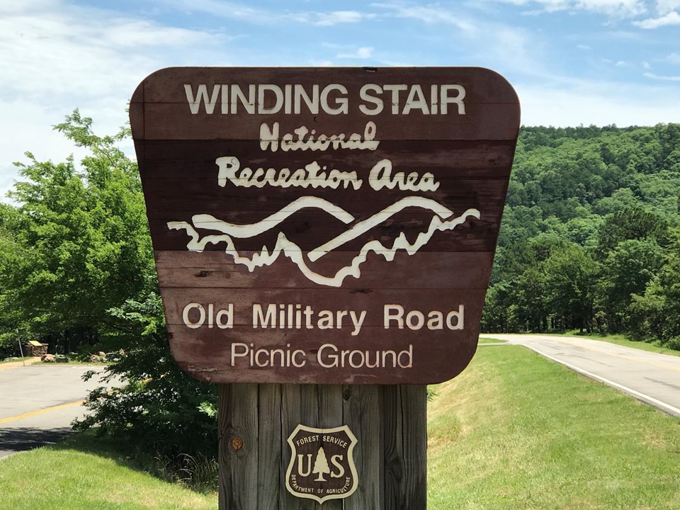
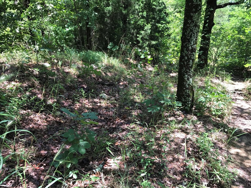
- a trace of the Old Military Road (from Fort Smith to Fort Towson) where it crosses Winding Stair Mountain. Built in 1832, you can still see where soldiers cut the road into the mountainside and rocks shoring it up. This is most likely the path Nuttall took over the mountain in 1819 which became part of the Military Road when it was constructed thirteen years later.
- Tuskahoma, the capitol of the Choctaw Nation. Nuttall camped near here on May 19, after crossing the Kiamichi River for the first time on his trip south. This too is a location with a long history as part of a north-south route through the Ouachita mountains, as there is a break in the mountains here that makes passage easier. The Choctaws established their capitol here because it was centrally located within the nation, and lay along the Military Road.
- “the three forks of the Kiamichi.” We will visit all three. Nuttall uses this identification, though we don’t normally think of the Kiamichi in this way. Just downstream from his Tuskahoma-area camp, the Jackfork of the Kiamichi joins with the main stem. A dam on the Jackfork creates Sardis Lake, site of long-standing, and ongoing, legal battles between those who live in the area and Oklahoma City over the control of southeast Oklahoma water.
We assume the mainstem is one of the three forks Nuttall means. The third is Peal Creek, which flows generally to the north and joins the mainstem of the Kiamichi downstream from where the Jackfork enters. A small, pretty lake on Peal Creek is the central attraction to Clayton Lake State Park, where we will lunch.
- Traveling south from Clayton Lake we will explore one of the larger mysteries of Nuttall’s trip south, Field’s Cove and Field’s Creek. These sites are important landmarks in Nuttall’s narrative, but the names are lost to modern memories. Thanks to John Davis, historian and director of the Fort Towson historic site finding a very old map that includes Field’s Cove, we think we now know where it was.
From Field’s Cove, we leave the Ouachitas and enter the coastal plain and Red River valley. I’ll highlight some of the stops in that portion of the trip in a future post.
Among the experts accompanying us on the trip will be Amy Buthod, botanist from the Oklahoma Biological Survey, who will be enriching our understanding of the plants we see as we travek. And, at Tuskahoma, Ryan Spring, from the Choctaw Nation Historic Preservation Department, will share his studies of how the newly arriving Choctaws adapted to the new to them plant communities of southeast Oklahoma.
Please join us as we explore southeastern Oklahoma in 1819 and today.
Go to: https://ktcbis.augusoft.net, select Poteau Campus, and then Personal Enrichment to reach the course description and register, or call Carly Jones, (918) 647-5418 or Danielle Mathews, (918) 647-5439.
Nuttall South: Southeastern Oklahoma in 1819 and Today. ID : 7961
Cost: $80 (includes lunch both days and a seat on the bus). Senior discounts available.