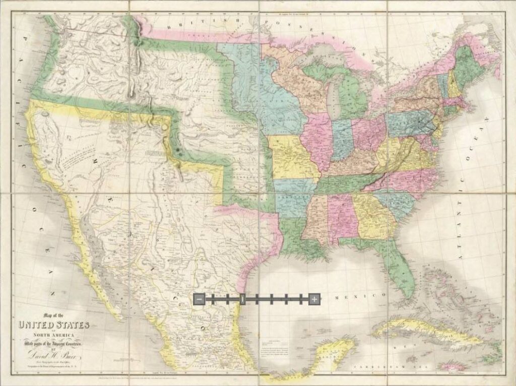
Nuttall’s descriptions of the Arkansas Territory in 1819–of what will become eastern Oklahoma and western Arkansas–are of a time when this part of the world was on the cusp of significant change. Settlement and changing land use will transform the landscape–farms will be established, cattle replace bison, more people are on the land. This map of the US in 1839–twenty years after Nuttall–emphasizes the point. So much has changed. In the early 1830s the Long Walk and the Trail of Tears bring Choctaws and Cherokees to settle what is now eastern Oklahoma. Arkansas is carved out to become a state in 1836.
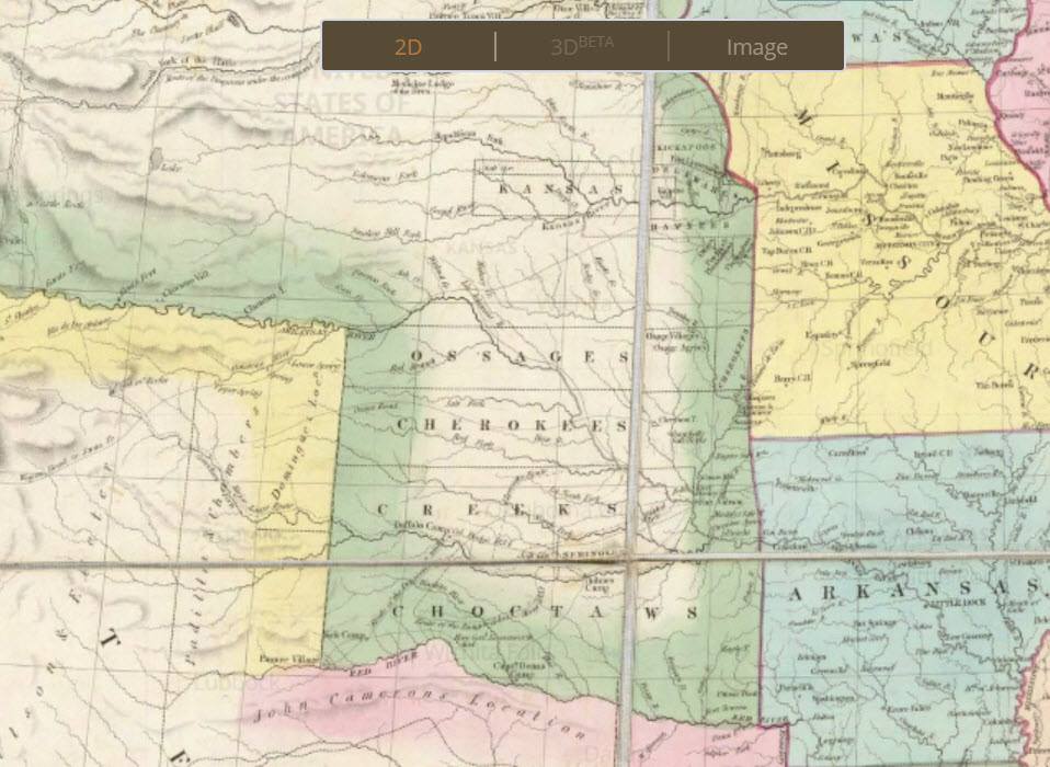
The close-up image of Indian Territory from the 1839 map also presents a view of the early Indian Territory that is different than what I generally carry in my mind. Absent later carving out of territories for other tribes, Indian Territory is seen as a series of parallel bands–Choctaw, Creek, Cherokee, Osage. I am not sure it was ever quite so simple, but it is an interesting view to contemplate. (Source: http://www.davidrumsey.com/maps3254.html)